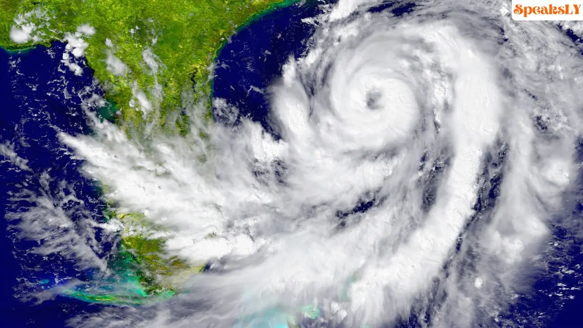
Hurricane Kristy Track: Hurricane Kristy, now a powerful Category 5 storm in the Pacific Ocean, has intensified with sustained winds reaching up to 160 mph, according to the latest updates from the National Hurricane Center (NHC). Located approximately 650 miles southwest of Mexico’s Baja California peninsula, Kristy is currently moving west at a steady 16 mph. The storm’s predicted path keeps it away from land, but dangerous swells are expected to reach the Baja coast, bringing life-threatening surf and rip current conditions by the weekend.
Kristy’s Rapid Intensification and Forecasted Path
Hurricane Kristy underwent rapid intensification after forming off the southern Pacific coast of Mexico. Within a few days, it transformed from a tropical storm to a Category 5 hurricane, showcasing the power of Pacific Ocean storm systems this season. NHC reports indicate that Kristy will continue westward for the next 24 hours before gradually turning northwest. Favorable atmospheric conditions are supporting the storm’s current strength, though cooler waters and wind shear are expected to weaken Kristy over the next few days, potentially downgrading it to a post-tropical cyclone within 96 hours.
Potential Hazards and Safety Concerns
While no coastal warnings or watches are currently in effect, the NHC has warned of hazardous conditions for beachgoers and surfers along the Baja California coast. The massive swells generated by Kristy are expected to produce dangerous rip currents that could pose risks to those near the water. The NHC advises extreme caution in affected areas through the weekend.
Pacific Hurricane Season Update
Hurricane Kristy is the 11th named storm in the eastern Pacific hurricane season, which typically spans from May 15 through November 30. This season averages around 15 named storms and eight hurricanes, with Kristy now marking a significant peak for major storms in the region.
For More Updates Visit- https://www.nhc.noaa.gov/


